- Price: 1$
- Size Facebook: 1702 x 630 px
- Size Twitter: 1500 x 500 px
- Size LinkedIn: 1128 x 191 px
More Facebook, Twitter and LinkedIn Cover Photos
Cover photo info
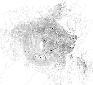
- Photo title: Satellite map of Juba, it is the capital and largest city in the Republic of South Sudan. The city is situated on the White Nile
- Author: Vampy1
- Cover photo description:
- Satellite map of Juba, it is the capital and largest city in the Republic of South Sudan. The city is situated on the White Nile. Map of streets and buildings of the town center.
- Image ID:154418094
- Views:0
- Downloads:0
Keywords for Facebook, Twitter and LinkedIn timeline photos
satellite
map
juba
republic
south
sudan
africa
buildings
travel
design
transportation
urban
traffic
border
symbol
country
background
highway
welcome
sign
warning
attention
information
chart
signpost
poster
isolated
democratic
outline
touristic
city
architecture
building
destination
landmark
ministry
aerial
view
atlas
district
top
black
white
lines


