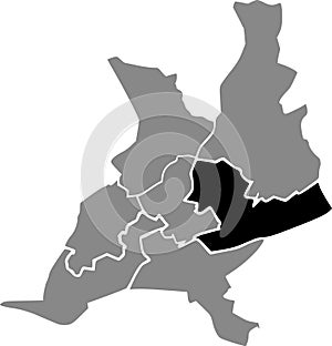
- Stock Photography: LOCATION MAP OF THE CANTON-2 OF NANTES, FRANCE by Momcilojovanov
- Price: 1$
- Size Facebook: 1702 x 630 px
- Size Twitter: 1500 x 500 px
- Size LinkedIn: 1128 x 191 px
More Facebook, Twitter and LinkedIn Cover Photos
Cover photo info
- Photo title: Location map of the Canton-2 of Nantes, France
- Author: Momcilojovanov
- Cover photo description:
- Black location map of the Canton-2 inside gray urban districts map of the French regional capital city of Nantes, France
- Image ID:233013127
- Views:0
- Downloads:0
Keywords for Facebook, Twitter and LinkedIn timeline photos
app
asphalt
background
beige
capital
car
cartography
city
cityscape
community
construction
curve
cut
data
design
destinations
detailed
direction
district
document
equipment
feudenheim
geography
german
germany
global
government
highway
house
icon
illustration
industry
infographic
journey
land
landscape
mannheim
map
mobile
mountain
navigation
navigational
neighbourhood
outline
patriotism
people
physical
plan
planning
positioning
quarter
regional
road
roads
scenery
sign
street
symbol
system
town
traffic
transportation
travel
unity
urban
vector
vintage
wallstadt


