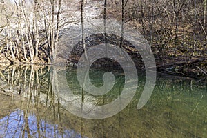
- Stock Photography: GOLYAMA KAMCHIA RIVER IN WINTER by Flygallery
- Price: 1$
- Size Facebook: 1702 x 630 px
- Size Twitter: 1500 x 500 px
- Size LinkedIn: 1128 x 191 px
More Facebook, Twitter and LinkedIn Cover Photos
Cover photo info
- Photo title: Golyama Kamchia river in winter
- Author: Flygallery
- Cover photo description:
- The Golyama Kamchiya River originates from Lisa Mountain, 760 m above sea level, about 7 km west of Bratan village, Kotel municipality. Near the village of Ticha, it flows in an easterly direction in a narrow and deep valley overgrown with deciduous forests. Then it turns to the northeast, its valley widens and flows through the historical-geographical region of Gerlovo. Near the village of Golyamo Tsarkvishte, Omurtag municipality, it turns east again, enters the Shumen region and its waters flow into the large `Ticha` dam. After its outflow from the dam wall, its direction again becomes northeast and forms a picturesque gorge between the Preslavska Planina in the northwest and the Dragoevska Planina in the southeast. Near the town of Veliki Preslav, it enters the Danube plain, flowing in a wide valley and forming a large arc protruding to the north. Between the town of Smyadovo and the village of Partizani, its valley narrows again and acquires a precipitous character, between the Rojak plateau in the north and the northern branches of the Varbishka mountain in the south. In the southwestern corner of the village of Velichkovo, Dulgopol municipality, at 26 m above sea level. joins the Luda Kamchia river coming from the right, and both together give rise to the actual Kamchia river.
- Image ID:259120515
- Views:0
- Downloads:0


