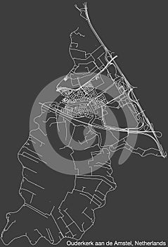
- Stock Photography: STREET ROADS MAP OF OUDERKERK AAN DE AMSTEL, NETHERLANDS by Momcilojovanov
- Price: 1$
- Size Facebook: 1702 x 630 px
- Size Twitter: 1500 x 500 px
- Size LinkedIn: 1128 x 191 px
More Facebook, Twitter and LinkedIn Cover Photos
Cover photo info
- Photo title: Street roads map of OUDERKERK AAN DE AMSTEL, NETHERLANDS
- Author: Momcilojovanov
- Cover photo description:
- Detailed hand-drawn navigational urban street roads map of the Dutch city of OUDERKERK AAN DE AMSTEL, NETHERLANDS with solid road lines and name tag on vintage background
- Image ID:297203770
- Views:0
- Downloads:0
Keywords for Facebook, Twitter and LinkedIn timeline photos
asphalt
car
cartography
city
community
construction
industry
curve
data
design
direction
global
positioning
system
government
highway
house
icon
infographic
journey
land
landscape
scenery
map
mountain
navigational
equipment
people
outline
patriotism
physical
geography
plan
document
planning
road
sign
symbol
town
traffic
transportation
travel
destinations
vector
residential
district
transparent
background
coat
arms
borough
type
european
union
intersection
trip
marking
street
netherlands


