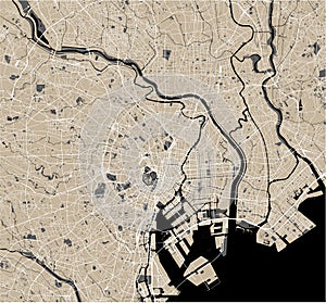
- Stock Photography: MAP OF THE CITY OF TOKYO, KANTO, ISLAND HONSHU, JAPAN by Tish63
- Price: 1$
- Size Facebook: 1702 x 630 px
- Size Twitter: 1500 x 500 px
- Size LinkedIn: 1128 x 191 px
More Facebook, Twitter and LinkedIn Cover Photos
Cover photo info
- Photo title: Map of the city of Tokyo, Kanto, Island Honshu, Japan
- Author: Tish63
- Cover photo description:
- Vector map of the city of Tokyo, Kanto, Island Honshu, Japan
- Image ID:135063739
- Views:5
- Downloads:1
Keywords for Facebook, Twitter and LinkedIn timeline photos
2019
2020
2021
adachi
administrative
america
american
arakawa
area
atlas
cartography
chiyoda
city
district
downtown
geography
graphic
grid
highway
honshu
illustration
island
itabashi
japan
kanto
koto
location
map
meguro
nakano
nerima
plan
planing
region
road
scale
scheme
setagaya
shinjuku
street
suginami
taito
tokyo
topography
toshima
town
united
urban
urbanism
vector


